The raster creation module consists in creating the following rasters on the basis of LiDAR files.
1. Altitude raster
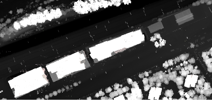
The grayscale raster describes the elevation of terrain and objects in meters above sea level. It is created based on the "Z" parameter of the LiDAR file.
Technical parameters:
- Reference system: PL-1992(EPSG:2180), with option to convert to WGS84(EPSG:4326)
- Spatial resolution: 0.2 meters
- Format: GeoTIFF
- Data type: Float32
- Number of channels: 1 (Z)
2. RGB Raster
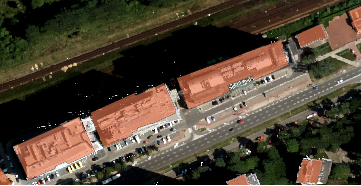
Raster in real colors, created by concatenating three previously generated rasters from the "Red", "Green" and "Blue" parameters of the LiDAR file, and then concatenated into a color composition.
Technical parameters:
- Reference system: PL-1992(EPSG:2180), with option to convert to WGS84(EPSG:4326)
- Spatial resolution: 0.2 meters
- Format: GeoTIFF
- Data type: Float32
- Number of channels: 3 (R,G,B)